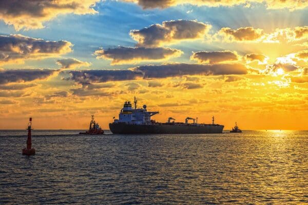
For as long as we have travelled and traded on the water, mariners, harbour masters and seafarers have relied on navigation aids to complete safe journeys at sea.
The international buoyage system, rationalised and regulated by the International Association of Lighthouse Authorities (IALA) since 1980, plays a crucial role in pilotage worldwide. And buoyage has a history that goes back to the thirteenth century.
The earliest recorded buoy appeared in Lo Compasso De Navegare — a ‘portolan’ nautical chart of the Mediterranean Sea from 1296. The first buoys in Northern Europe were recorded about 30 years later and mostly comprised of a hollow drum, bound with iron bands and secured with chains attached to a heavy stone. Nowadays, the capabilities of the modern buoy have far exceeded their wooden predecessor.
There are three different types of buoy available for various purposes — navigation, mooring and data platforms. Each buoy type plays a fundamental role in furthering marine research or ensuring safety at sea.
What is a navigation buoy?
When operating at sea, clarity and visibility are essential considerations for safety and efficiency.
Navigation buoys alert ships to high-risk areas and can distinguish lines of safe passage in bodies of water. These floating markers are used for many different purposes — for example, marking channel entrances and underwater and surface hazards such as disused platforms.
A navigation buoy must be robust enough to withstand extreme weather exposure and rough sea conditions — and provide the appropriate buoyancy for its application. The mooring’s scope, location and weight will determine the type and size of buoy needed for a particular project. For example, buoys such as the Mobilis JET 2500 are shorter in height and feature a sturdy flat bottom to accommodate placement in shallow water areas where grounding is likely.
Visibility is also central to the role played by these buoys. As a result, navigation buoys can use UV-stabilised medium-density polyethene (MDPE) components — which retain their colour within IALA guidelines for more than 15 years without repainting — and are typically fitted with navigation lights for conspicuousness at night.
What is a mooring buoy?
Mooring buoys offer a practical alternative to anchors, providing a quick mooring solution that occupies a more defined location and allows other operations to continue nearby.
These buoys have a strong galvanised steel structure to support mooring loads and have multiple fixing options to suit users’ needs. Mooring buoys can be used to secure stand-by vessels on construction sites, support lighting operations within a port area, or simply extend moorings to accommodate larger ships on a quay.
The location of deployment will determine the type of buoy required for an application. For example, the Mobilis AMR 2500 is perfect for most harbour or coastal settings but would not be appropriate for mooring a larger vessel in the deep sea. Here, the Mobilis AMR 17000 would be more suitable, providing greater gross buoyancy and the ability to support loads of up to 300 tonnes with eight float sections and multiple mooring attachments.
What is a data buoy platform?
Data buoys are commonly used for environmental, meteorological and oceanographic research purposes. Such research could involve collecting weather data and measuring variables in the surrounding air, water and sea bed.
Data buoy platforms with through-hull access to instrumentation are fitted with a range of sensors and equipment bespoke to each application. These buoys usually include a tower that supports the mounting of solar panels, power banks and terrestrial instrumentation — including sensors for communication between the buoy and on-shore operators.
There are several considerations for the design and deployment of a data buoy based on the unique conditions of each project. One of the key challenges lies in ensuring each platform can accommodate the equipment it will carry — and the power supply it will require. A buoy loaded with sensors must be more buoyant to keep it stable — and more compact data buoys must still deliver the same basis for sensors and equipment. Solar panels usually provide power for data buoys, but additional wind turbines and fuel cells can be combined with large battery packs to support core functions.
Remote monitoring capabilities are also critical to ensure equipment is functioning optimally without the need for regular on-site monitoring and mean equipment can be controlled from afar. For instance, cages full of sensors can be programmed to dive to specific depths and frequencies — a key feature for third-party researchers working from the data provided by buoys like SINTEF’s Mobilis DB 24000.
What are the considerations for chains and moorings?
Moorings are an often undervalued part of the system. They allow the buoy to move freely and ride out the worst weather anticipated during its deployment. The correct mooring length, chain size and sinker can be selected using the IALA-approved CALMAR mooring line calculation software to ensure the solution provided is suitable.
It is also crucial for chains and moorings for navigation aids to be resistant to wear and corrosion in harsh sea conditions. But chain is frequently purchased on price, which can lead to poor quality materials and manufacturing — particularly in buoy shackles.
On balance, investing in the longevity and reliability provided by high-quality chains and moorings will more than offset any additional costs. By choosing a first-class manufacturer, users can minimise maintenance and maximise the working life of a mooring system. Where requested, full Bureaux Veritas (BV) certification of materials and manufacturing processes can be provided for additional assurance.
Hydrosphere has been supplying high-quality marine aids to navigation — including navigation, mooring and data buoys — since 1994. Get in touch with our specialist consultants to discuss your next maritime project.
